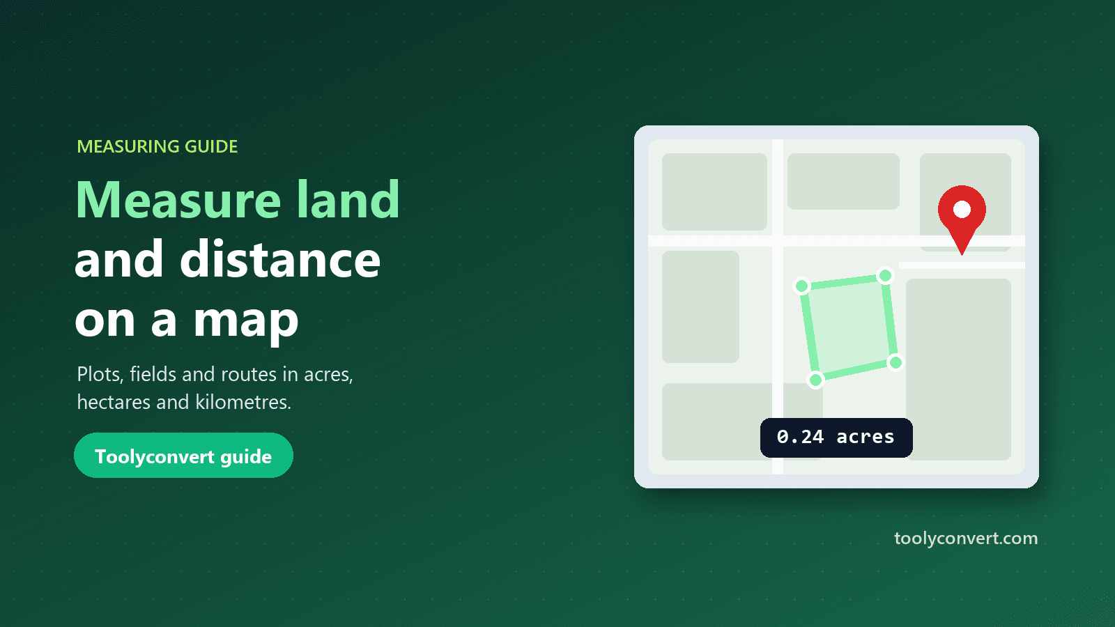
A relative calls about a plot of land outside town. The listing says 0.3 acres, the price looks fair, and they want to know whether it is worth the drive to see it. A few minutes on a satellite map tells a different story: traced around the visible boundary, the plot comes to about 0.24 acres, a fifth smaller than advertised. That is not proof of anything, but it is exactly the right question to ask the seller before anyone spends a Saturday on the road.
Measuring distances and areas on a map used to need surveying software. Today it takes a browser and a few clicks. This guide explains how map measurements work, how to get results you can trust, and where their limits are, so you know when a quick estimate is enough and when you need a professional.
Distance as the crow flies, and why it differs from the road
There are two kinds of distance people usually mean.
Straight-line distance is the shortest path over the surface of the Earth between two points, sometimes called "as the crow flies" or great-circle distance. It ignores roads, rivers and mountains.
Travel distance follows the actual route you would drive, walk or cycle, and it is almost always longer, often by 20 to 40 percent in cities and much more in hilly or coastal areas.
The Distance & Area Calculator measures straight-line distance. That is the right number for comparing how far apart places are, checking a flight distance, estimating radio or delivery range, planning a cable or fence run, or measuring anything that does not follow a road. For driving directions, a route planner is the right tool.
How to measure a distance on the map
- Open Distance & Area Calculator and choose Distance.
- Load the map. Search for an address, paste coordinates, or use "My location" to jump straight to the area.
- Click to add points. Each click drops a point; the line and the total length update instantly. Add several points to measure a winding path, such as a running route or a boundary wall.
- Adjust. Drag any point to fine-tune its position, use Undo to remove the last point, or Clear to start again.
- Pick your unit. Switch between kilometres, metres, miles, feet and nautical miles at any time, then copy the result.
The calculator works on the curved surface of the Earth rather than a flat map, so long distances stay accurate. Delhi to Mumbai comes out at about 1,150 km in a straight line, and London to New York at about 5,570 km, matching published great-circle figures.
How to measure the area of a plot, field or roof
- Choose Area in the calculator.
- Zoom in close on the satellite view. This is the single most important step for accuracy.
- Click around the edge of the shape, one point at each corner or bend. You need at least three points; the shape closes itself automatically.
- Read the area and perimeter. Area is shown in square metres, square feet, acres, hectares, square kilometres or square miles; the perimeter is shown alongside it, which is handy for fencing.
For irregular shapes, such as a curved field edge or a pond, add more points along the curve. Ten well-placed points around a curve are far more accurate than four corners.
Units that matter for land
Land is sold and recorded in different units around the world, and mixing them up is a common source of confusion.
| Unit | Square metres | Typical use |
|---|---|---|
| Square foot | 0.0929 | Flats, houses and rooms, especially in India and the US |
| Square metre | 1 | Most of the world for buildings and plots |
| Acre | 4,046.86 | Farmland and larger plots in India, the UK and the US |
| Hectare | 10,000 | Farmland and land records in most countries |
| Square kilometre | 1,000,000 | Large estates, lakes, city areas |
Local units such as bigha, guntha or kanal vary from state to state, so the safest approach is to measure in square metres or acres and convert using the figure your local land office uses. For other unit conversions, the Unit Converter covers length and area in many more units.
How accurate are map measurements?
The maths itself is precise. The calculator uses the same Earth model as Google Maps and computes areas on the curved surface, so for anything up to the size of a large farm the calculation error is well under one percent.
In practice, accuracy depends on two things you control and one you do not:
- Where you click. At a typical zoom, a pixel on screen can be half a metre or more on the ground. Zoom in as far as the imagery allows before placing points.
- How you trace boundaries. Walls, hedges and fences have thickness. Decide whether you are measuring the inside or outside edge and stay consistent.
- The imagery itself. Satellite photos can be slightly offset from true positions, sometimes by a few metres, and they may be months or years old.
For a 30 by 40 metre plot, tracing half a metre outside the true edge on every side gives 31 by 41 metres, about six percent more area. That is fine for a first check, not for a sale agreement.
When a map measurement is not enough
Use map measurements to estimate, compare and ask good questions. Do not rely on them for:
- Legal boundaries and land records. Only an official survey defines where a property begins and ends.
- Disputes with neighbours. Imagery offsets and tree cover can mislead.
- Construction setbacks and permits. Authorities require surveyed drawings.
- Sloped roofs. A map shows the flat footprint. A pitched roof has more surface than its footprint, roughly 15 percent more at a 30-degree pitch, so add an allowance when ordering materials.
Measuring without the map: paste coordinates
Sometimes you already have exact points, from a GPS device, a survey document or a phone app. Open Type or paste coordinates in the calculator and enter one point per line, in decimal (18.5204, 73.8567) or degrees, minutes and seconds (18°31′13″N 73°51′24″E). The calculator measures the distance or area straight away, without loading the map.
If your coordinates come in mixed formats, or you need to check them first, the GPS Coordinates Finder converts between formats and shows each point on a map. Our guide to finding and converting GPS coordinates explains the formats and the common mix-ups, such as swapped latitude and longitude.
Everyday things people measure
Gardens and lawns. Turf, seed and fertiliser are sold by area. Measuring a lawn at 180 m² before ordering avoids both shortages and waste.
Fencing. The perimeter of a field or garden tells you how much fencing and how many posts to buy.
Solar planning. The flat footprint of a roof or open ground gives a first estimate of how many panels might fit, before a site visit.
Running and cycling routes. Clicking along a path gives a good estimate of a route's length when you do not have a tracker.
Travel and geography. Straight-line distances between cities, the size of a lake or park, or the distance a ferry crosses are all quick to check.
Property listings. Measuring a plot from satellite imagery before visiting helps you spot listings that look too good to be true.
Privacy and fair use
The map loads only when you ask for it, and your points stay in your browser; they are not saved or sent anywhere. The only thing sent is an address you search for, which is looked up through our server. To keep the tool free, each browser can load the map up to 15 times a day, and measuring from typed coordinates has no limit.
"My location" uses your browser's location permission, which you can refuse. On phones it uses GPS and is accurate to a few metres; on computers it is often only accurate to the neighbourhood.
Frequently asked questions
Is the distance by road?
No. It is the straight-line distance over the Earth's surface. Road distances are longer.
How many points do I need for an area?
At least three. Add more points along curves for a more accurate result.
Can I move a point after placing it?
Yes. Drag it on the map, or use Undo to remove the last point.
Which units are available?
Kilometres, metres, miles, feet and nautical miles for distance; square metres, square feet, acres, hectares, square kilometres and square miles for area.
Can I use the result for land registration?
No. Use it for estimates only. Land records need an official survey.
A satellite map and a few careful clicks answer most "how far" and "how big" questions in under a minute. Zoom in, trace carefully, check the units, and use the Distance & Area Calculator to turn a vague listing or a rough idea into a number you can actually discuss.